June 2-4, 2012 - Ocracoke, North Carolina |
|
Lynnette and I had been planning on flying up to Brunswick, Maine this
weekend. We had lived there for three years back in the early 80's
during my first P-3 squadron tour. Good times. Brunswick Naval
Air Station closed a couple of years ago and is now Brunswick Executive Airport (KBXM).
I thought it would be neat to land my own airplane on the runway
I had landed on so many times before in the back of a P-3. Plus
they were having their second annual fly-in this weekend.
However, Mother Nature had plans of her own.
Around mid-week it became pretty obvious that we weren't going to be able to
make it to Maine, and it would be cold and rainy the entire time even if we
did. So I cancelled the Bed & Breakfast and rental car
reservations. But we still wanted to go somewhere. Things
looked pretty good to the south so another place on my flying bucket list came
to mind: Ocracoke Island on the outer banks of North
Carolina. Despite the late notice, I was able to get a motel
reservation, and we were go.
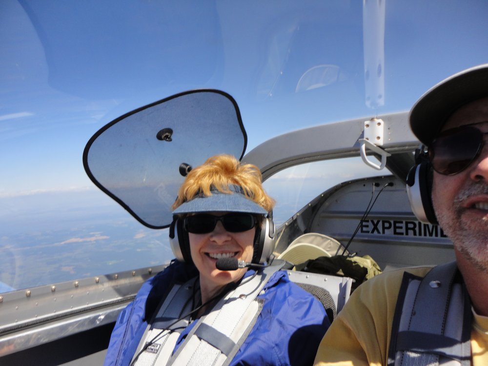
When Lynnette flies in the RV, she likes to get
there as fast as possible, and in smooth air. So after
takeoff we kept climbing all the way to 8000 feet and boomed down the Eastern
Shore. |
|
 |
|
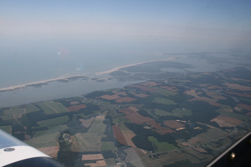
I'm usually pretty low flying down the Eastern Shore. I enjoyed
seeing it from a different perspective up high. |
|
 |
|
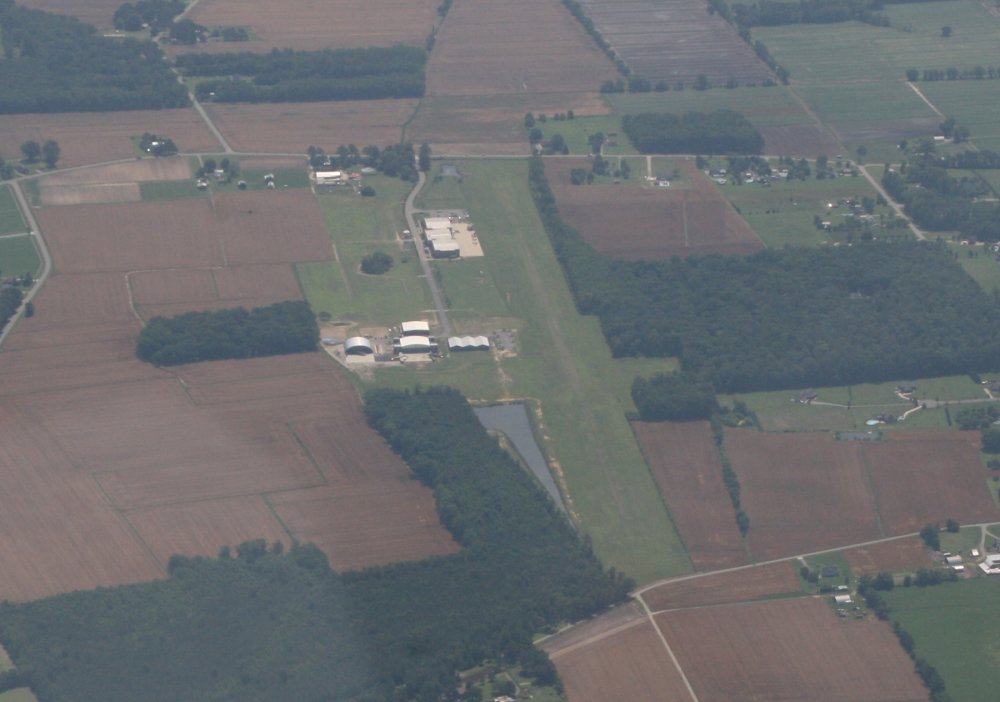
| We flew over the
Norfolk airspace, skirting the Virginia Beach Airshow TFR to the
west. South of Norfolk I spotted the Virginia Beach Airport
(42VA) which is the home of the Military Aviation Museum
and its extensive WWII and WWI airplane collection. I need to go see
it one of these days. The airport is private but they allow people
to fly in when they have their airshows. |
|
 |
|
|
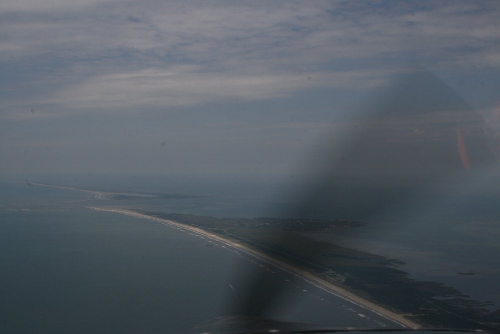
Soon we were flying over the
birthplace of aviation: Kitty Hawk. |
|
 |
|
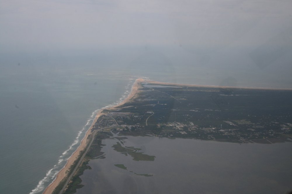
| Continuing south
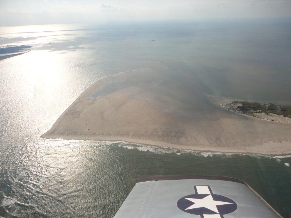
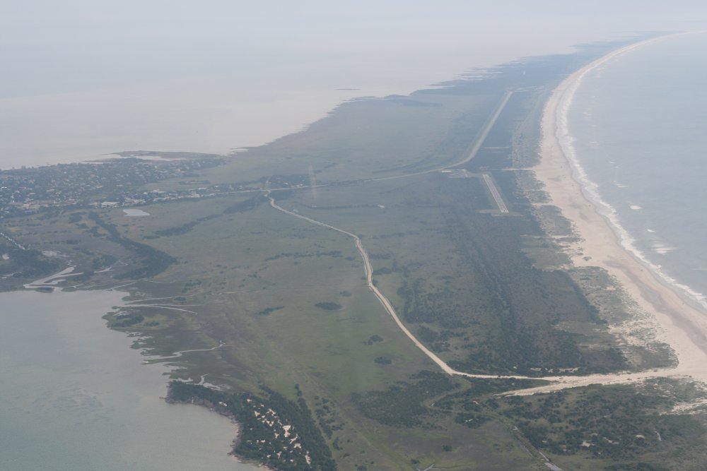
down the coast, we came to Cape Hatteras. |
|
 |
|
| Another look at
Hatteras. |
|
 |
|
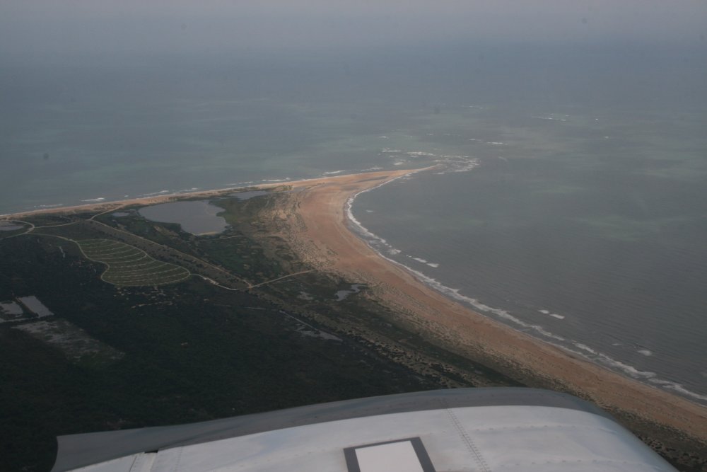
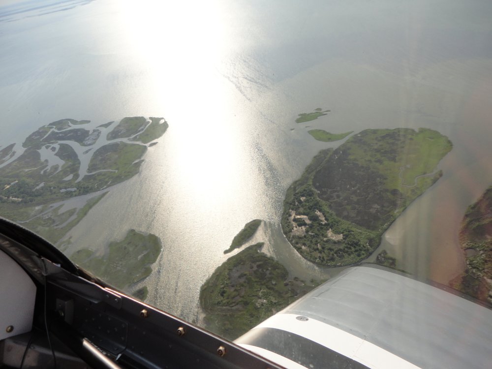
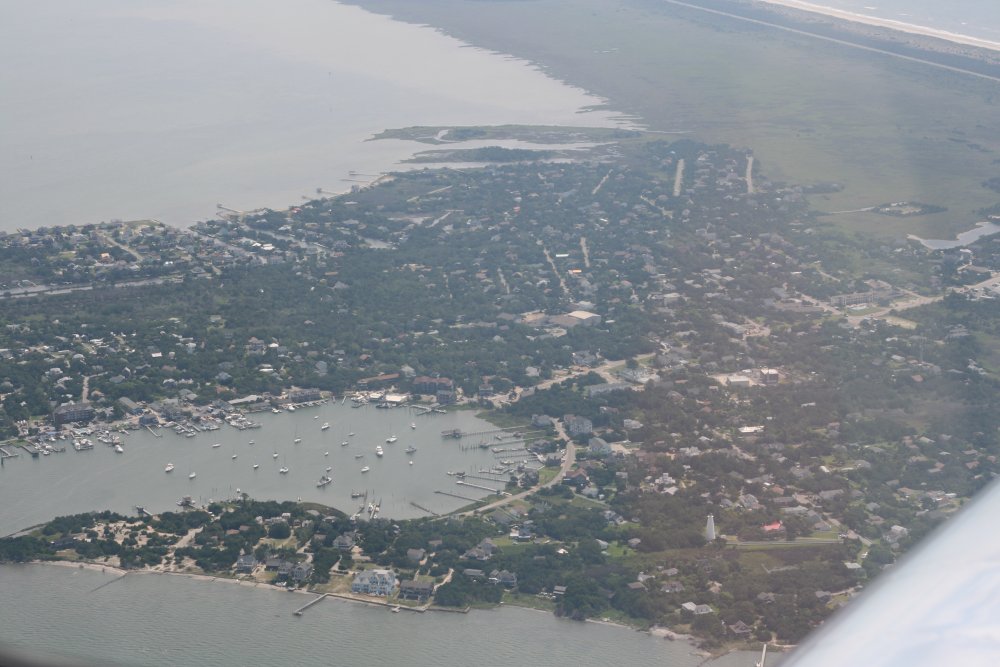
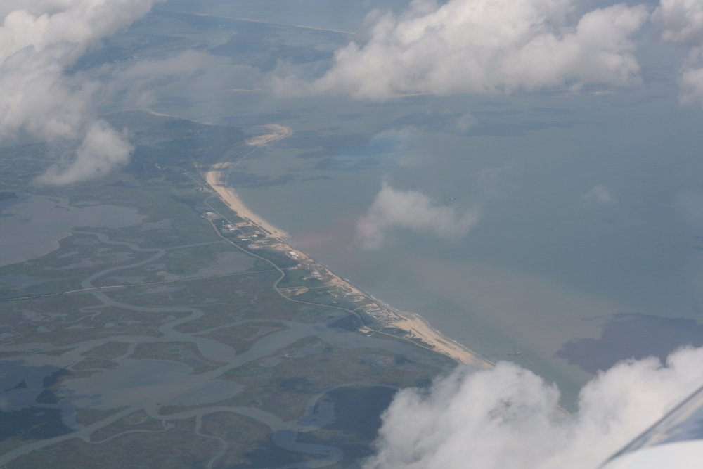
| Approaching
Ocracoke. The village can be seen at center right. |
|
 |
|
|
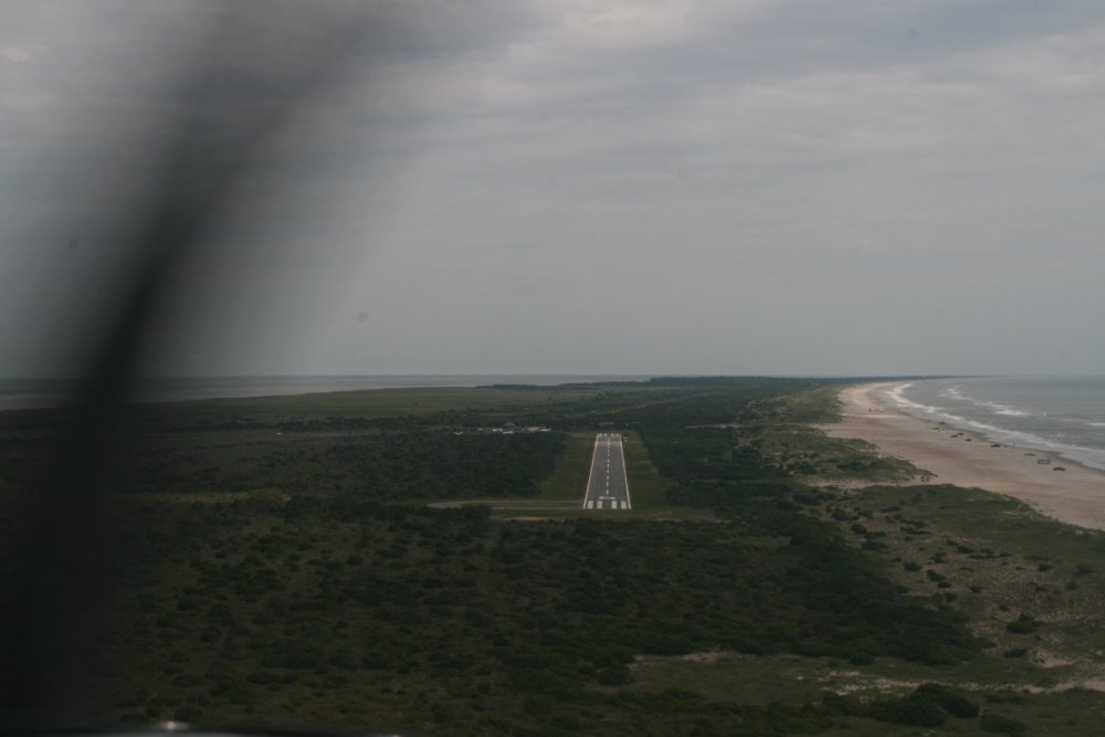
On final to Runway 6. |
|
 |
|
| Lynnette happy to
be safe on deck and ready
to start the vacation. |
|
 |
|
|
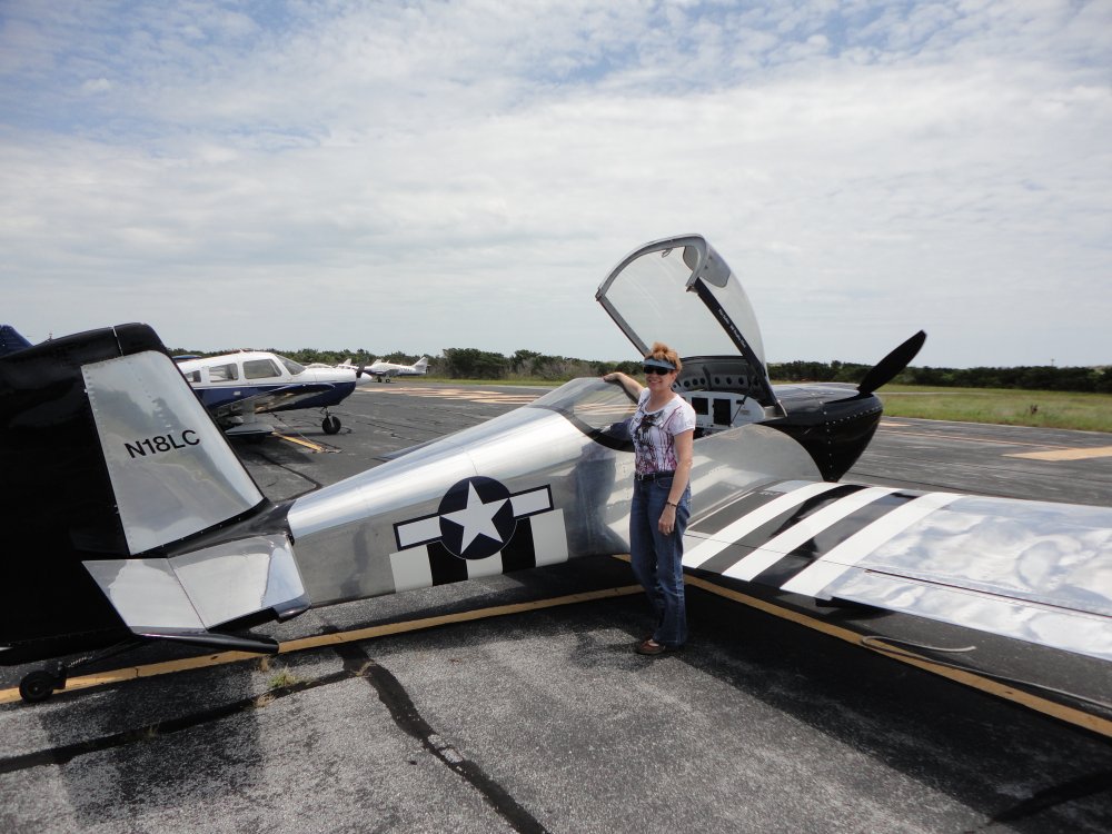
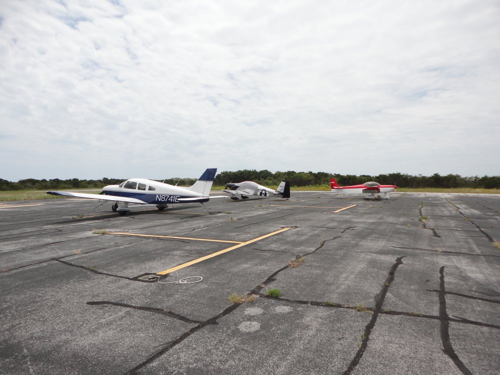
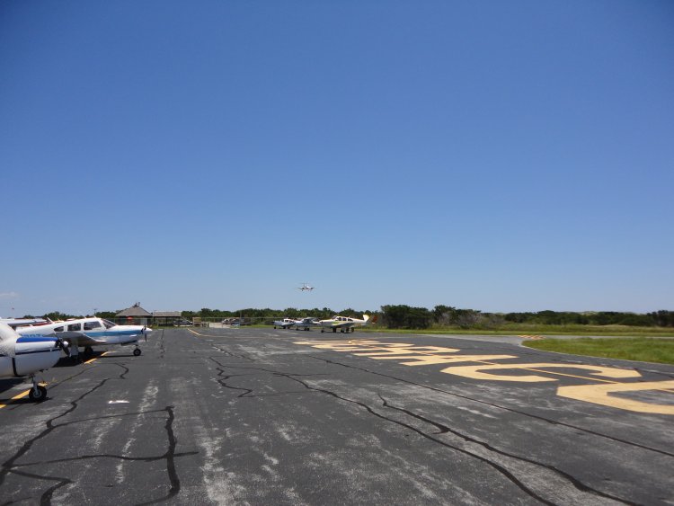
The RV securely tied down and
covered. There were actually quite a few planes on the ramp, and
planes were continually taking off and landing all weekend. |
|
 |
|
|
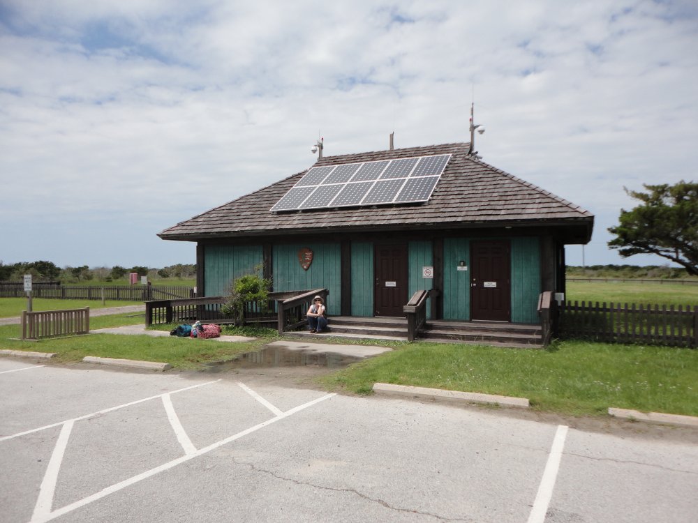
Lynnette loitering in front of the Airport building which had a nicely
furnished pilot's room containing a computer with internet connection,
phone, and information board.
The Pony Island Motel provided transportation to and from the motel,
about a mile away. |
|
 |
|
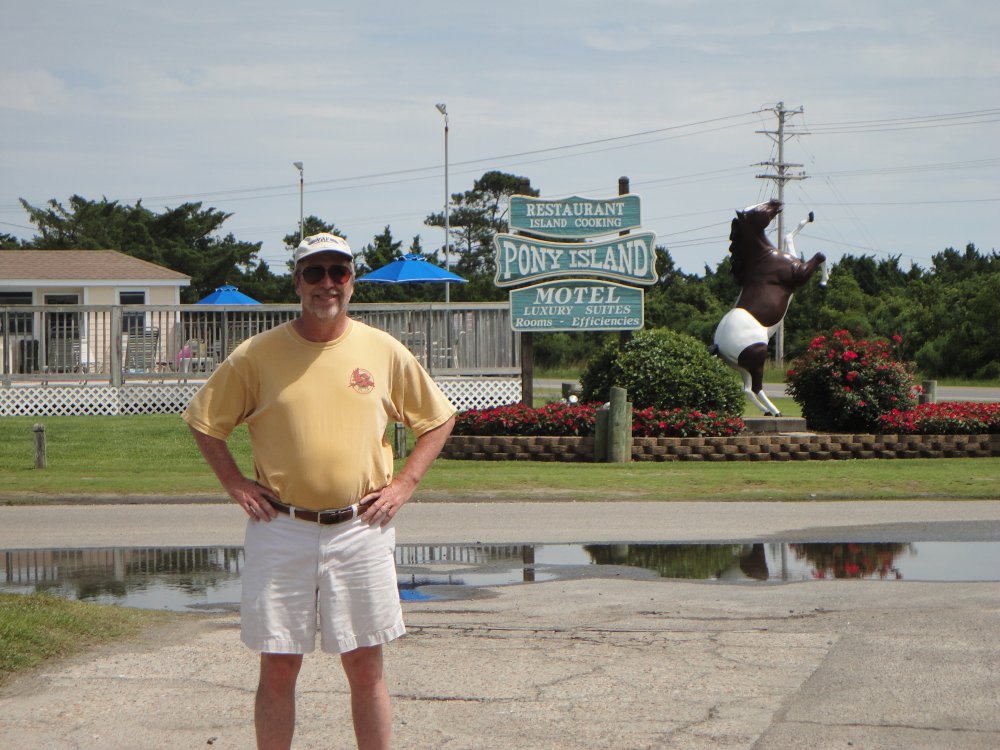
| We stayed at the Pony Island Motel
which was nice. They were very friendly, the room was fine, there was
a pool, a restaurant and rented bikes for a reasonable rate. |
|
 |
|
| Pretty much
everything to see on the island was within walking distance. We
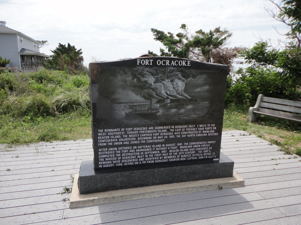
checked out the Ocracoke Festival, then walked around. Here is
the Civil War monument. |
|
 |
|
|
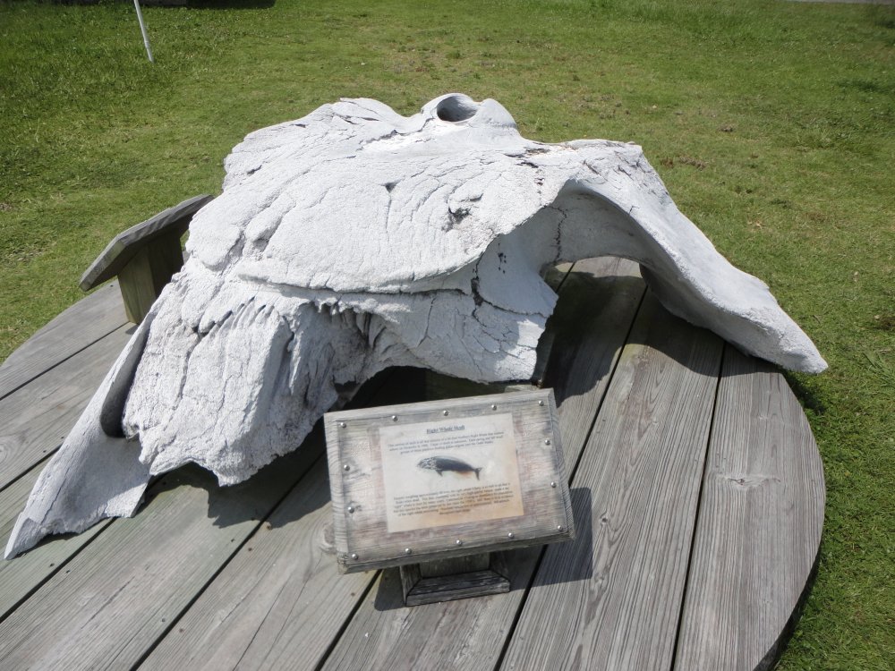
In front of the small Ocracoke museum
is this skull of a Right Whale that washed ashore in 1988. |
|
 |
|
|
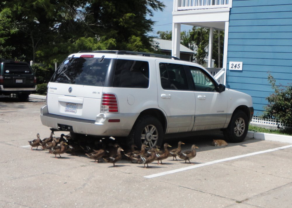
A flock of ducks approaching a sleeping cat. |
|
 |
|
|
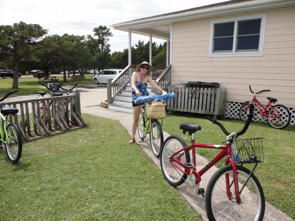
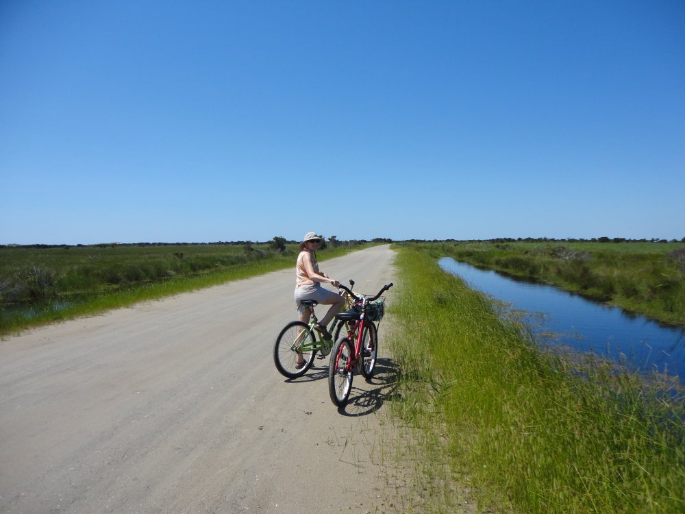
People got around the island in SUVs,
golf carts, bikes and by walking. We choose the bike option which
worked well for us. Here is Lynnette ready to go to the beach. |
|
 |
|
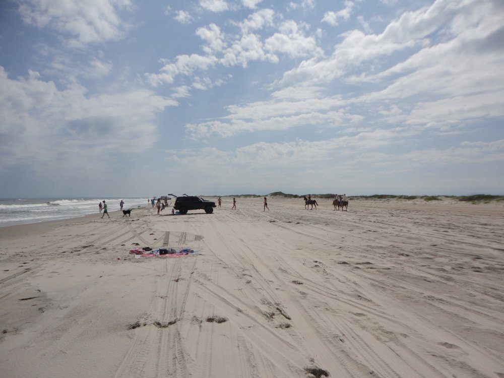
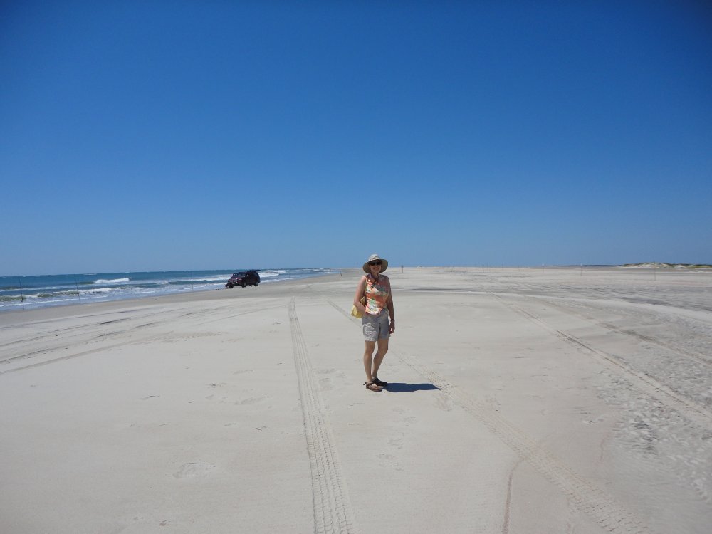
| Cars were allowed
on the beach. Horses too. But the beach was sparsely populated. |
|
 |
|
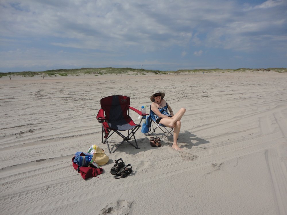
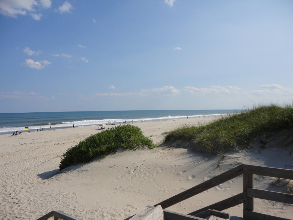
| Lynnette enjoying
the big, empty beach. |
|
 |
|
| |
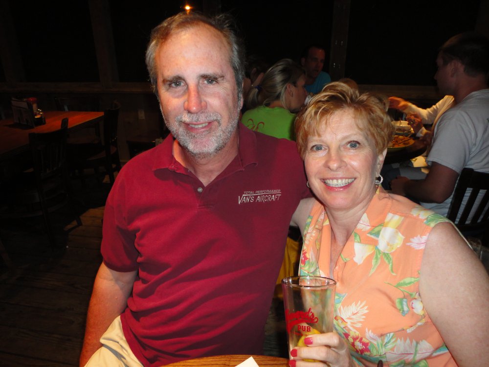
| Ocracoke has a
surprising number of good places to eat. The frist night we ate at
the famous Howard's Pub. |
|
 |
|
|
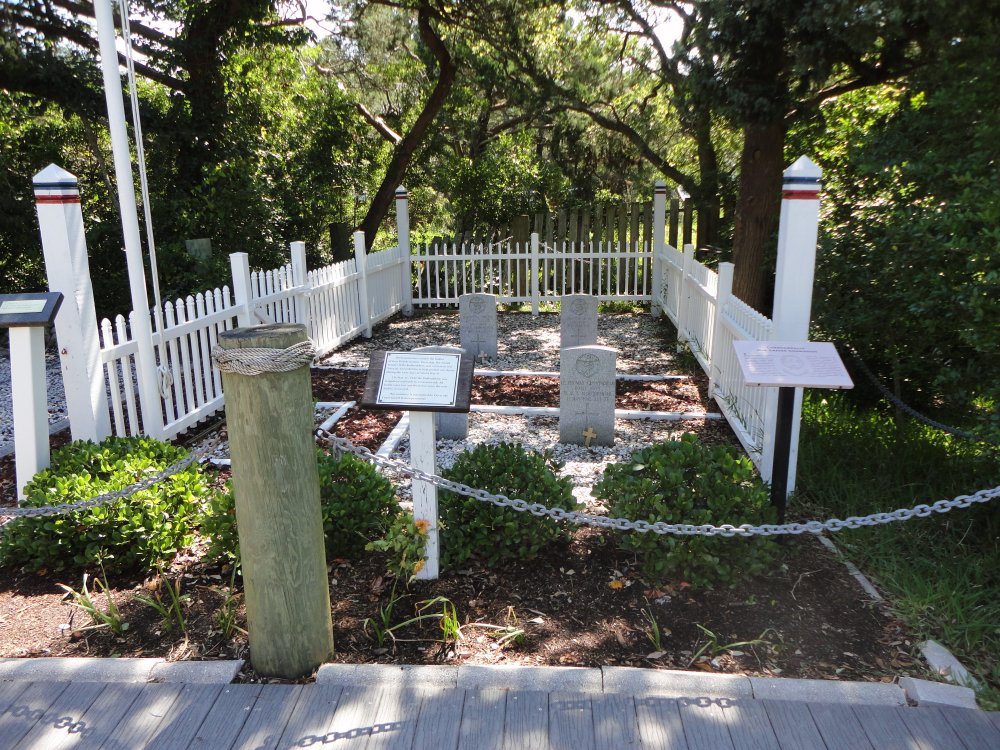
The British cemetary. During
World War II, the Royal Navy ship HMT Bedfordshire was torpedoed off
Ocracoke by a German U-boat. Four crewman washed ashore and are
buried here. The rest of the crew was lost at sea. |
|
 |
|
| Lynnette and I
biked down this road in an attempt to reach the southern point of the
island. |
|
 |
|
|
The road led to the beach and then we
hiked the rest of the way. |
|
 |
|
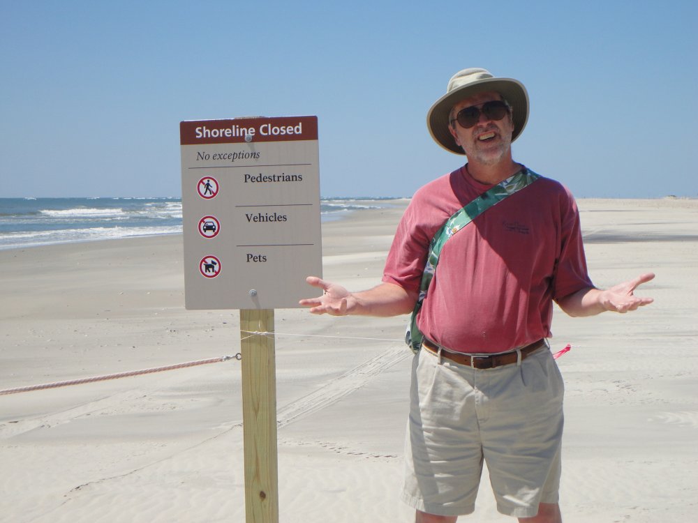
| Within sight of
the southern point, we came to this barrier and could proceed no further,
lest we disturb our feathered, winged friends. |
|
 |
|
|
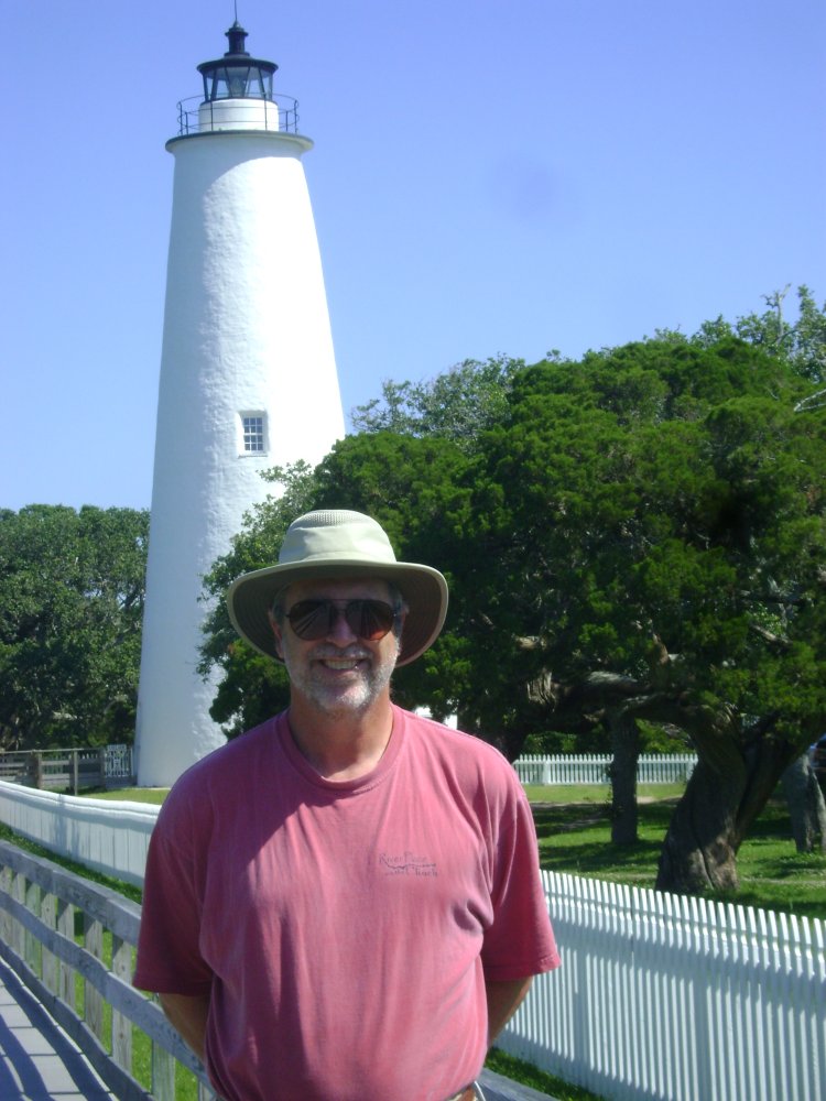
The Ocracoke lighthouse, built in
1823, is the second oldest lighthouse still in use in the U.S. |
|
 |
|
| Sunday afternoon
was spent at the lifeguard beach. |
|
 |
|
| I went for a short
sightseeing flight late Sunday afternoon while Lynnette was still on the
lifeguard beach. This this big twin landed while I was gertting the
plane ready. |
|
 |
|
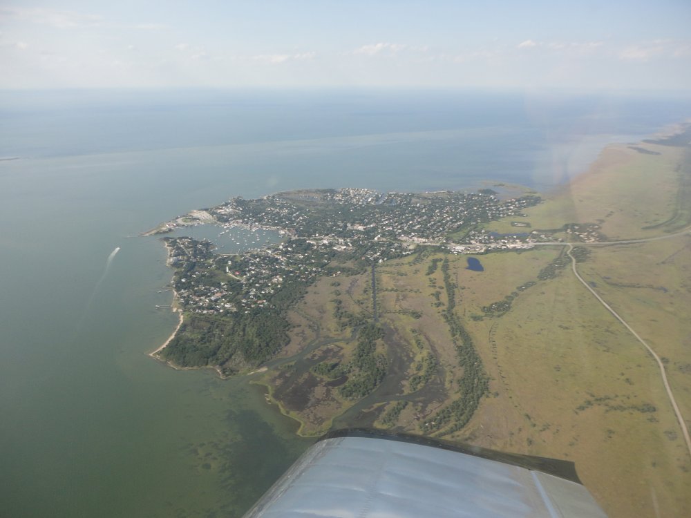
| A good shot of the
Ocracoke "village". The road leading to South Point is in the lower
right-hand corner. |
|
 |
|
|
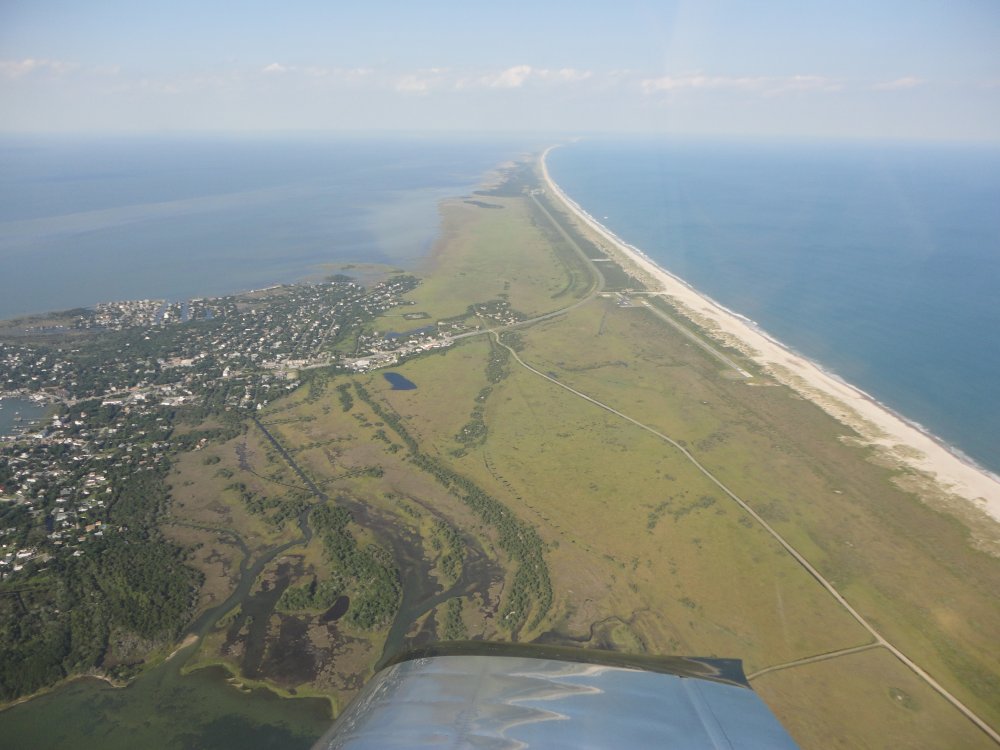
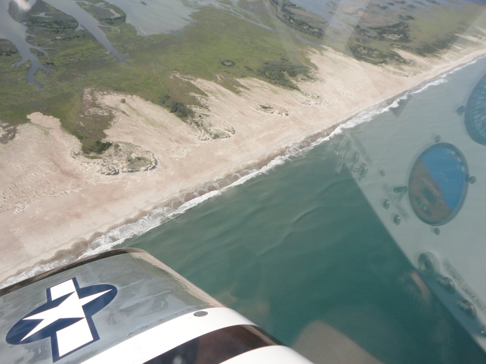
Looking north up the beach. |
|
 |
|
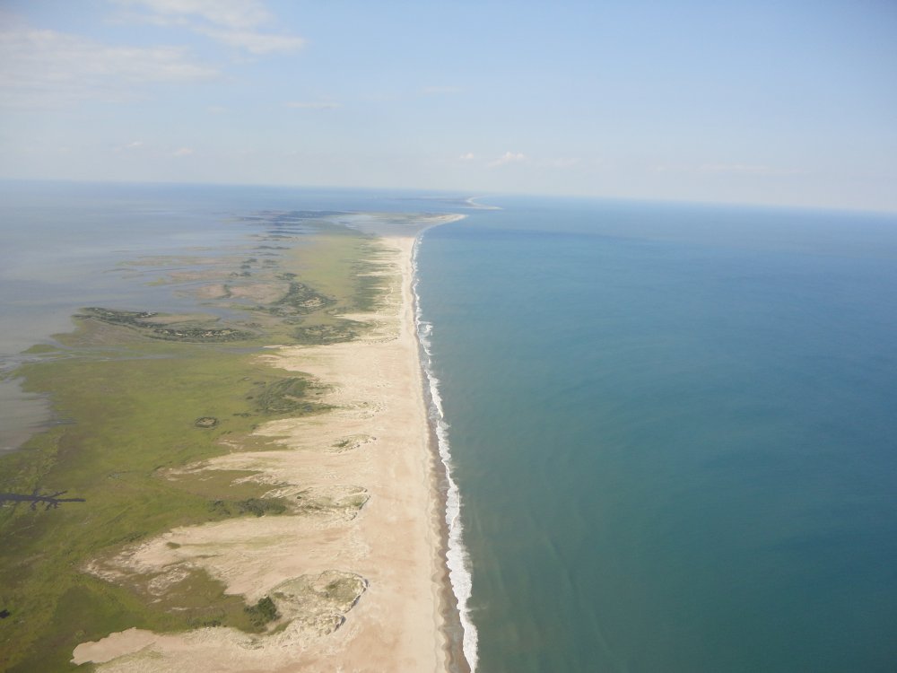
| South Point.
If I can't walk on it, at least I can fly over it. I am at 2000 feet
since this is a National Wildlife Refuge Area. |
|
 |
|
|
I took this picture because of the
interesting light. |
|
 |
|
| I checked out the
land south of Ocracoke. |
|
 |
|
|
There wasn't even a road. Totally deserted.
Crossing the beach on base leg for landing, I flew right over Lynnette
on the beach. She biked over to the airport while I was tying down
the RV, then we enjoyed a great dinner at Dajios. |
|
 |
|
| The next morning
it was time to leave. We took off to the south, climbed and circled
over Ocracoke. |
|
 |
|
|
A closer look at the
Village. |
|
 |
|
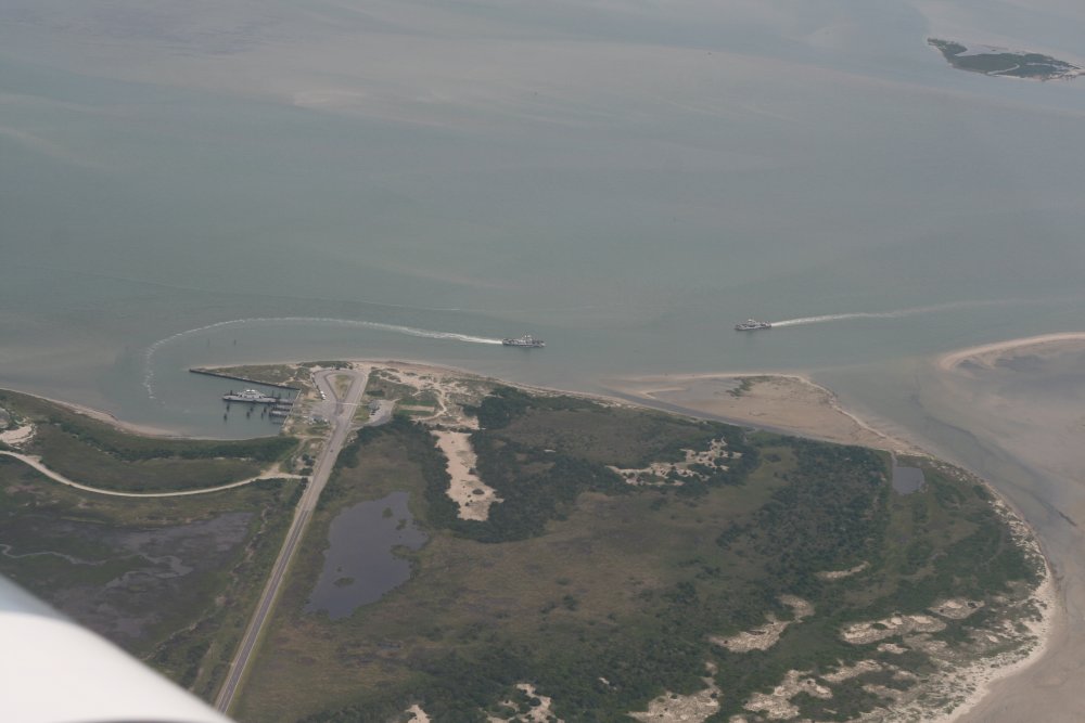
| Heading to the
north end of the island, we observed the Ferry Boats that run between
Hatteras and Ocracoke. The Ferry is free and takes 40
minues. Here a Ferry is leaving and coming into Ocracoke. |
|
 |
|
|
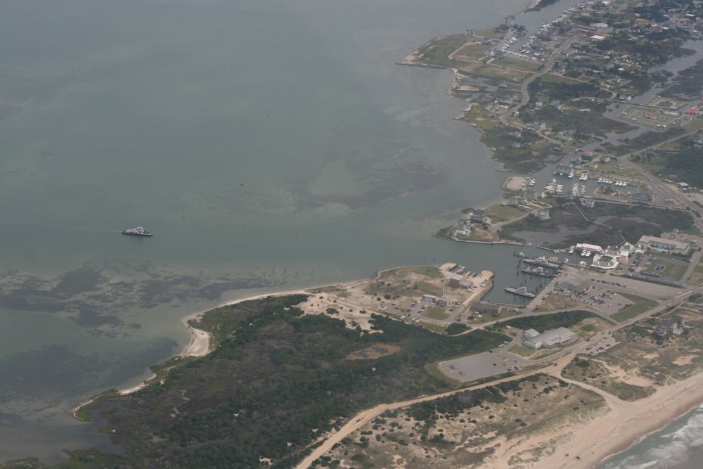
And on the Hatteras side, a Ferry
approaches the docks. |
|
 |
|
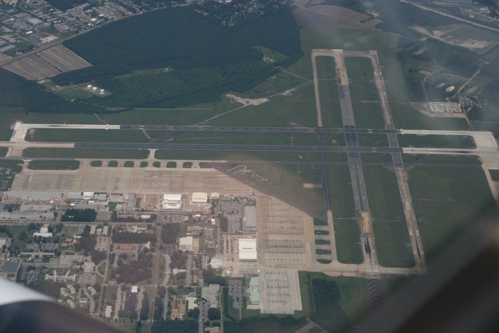
| Overhead Dare
County Airport where we stopped for some AvGas. |
|
 |
|
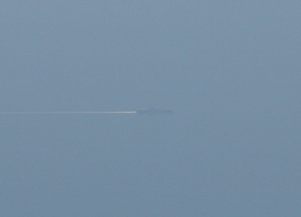
| Off Norfolk, we
could see a big amphibious assault ship out to sea, probably a Wasp-class
LPD. |
|
 |
|
| |
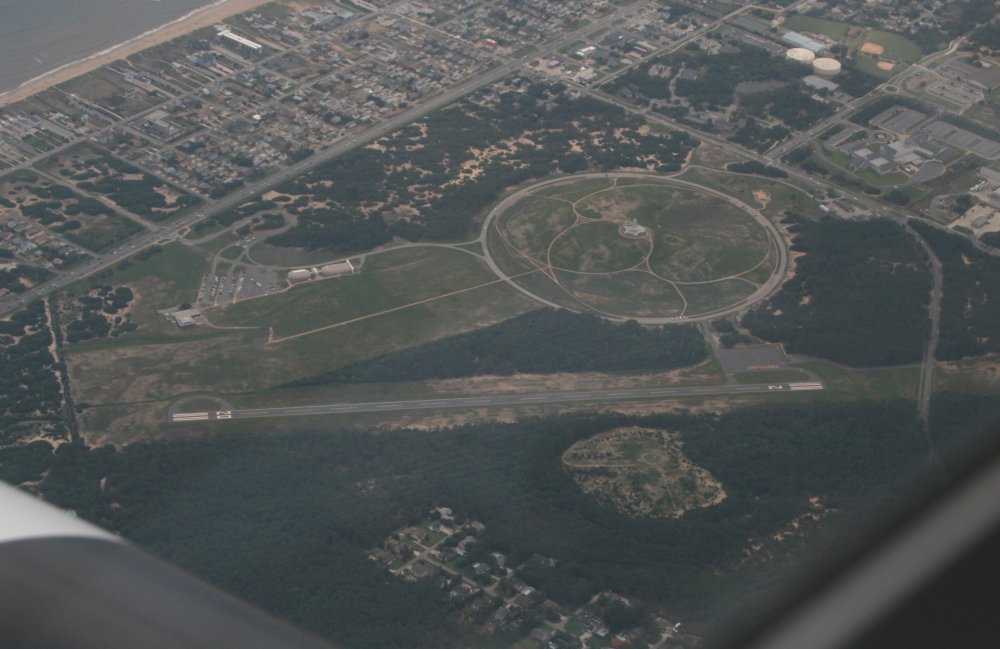
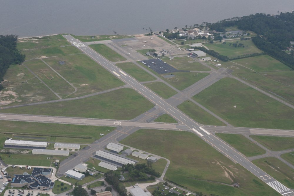
| Over Oceana Naval
Air Station at 8000 feet. |
|
 |
|
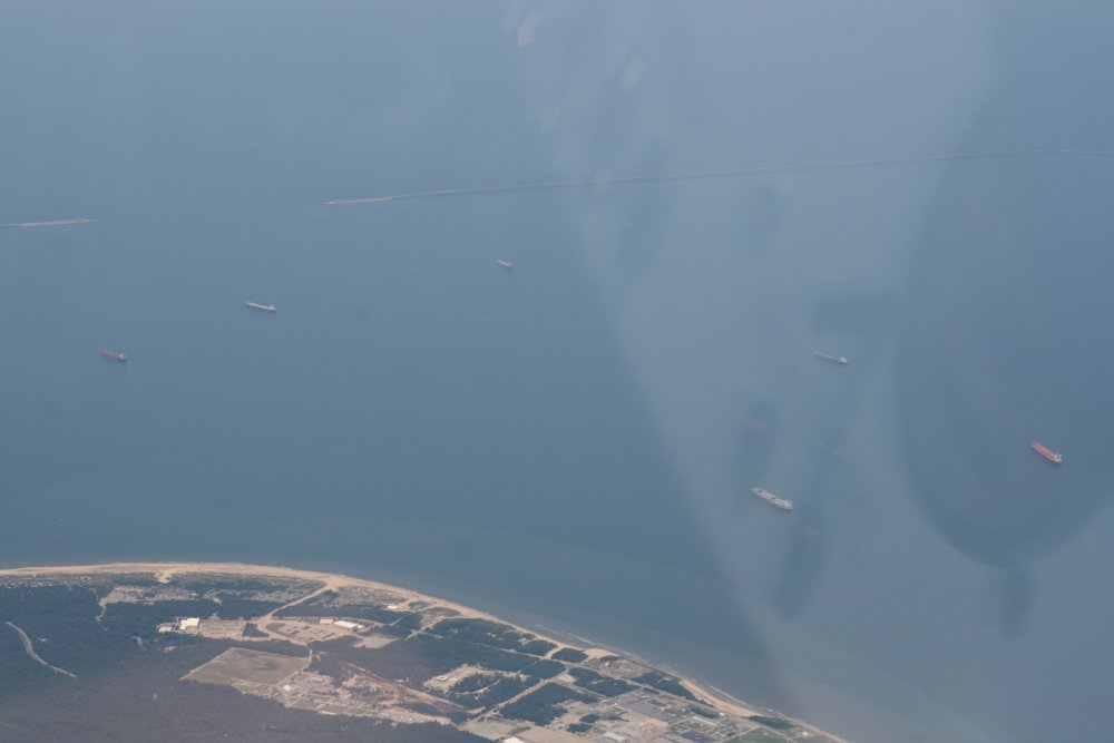
About to cross the mouth of the
Chesapeake Bay. There were lots of big tanker ships preparing to go
through the Chesapeake
Bay Bridge-Tunnel. |
|
 |
|
| Looking down at Wallops Island
Flight Facility. |
|
 |
|
|
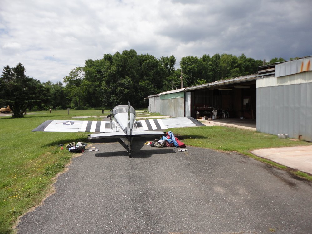
And safe on deck at Essex
Skypark. Great weekend! |
|
 |
|
| |
|
|
|
|
|
|
|